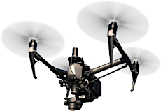
Aerial Acquisition
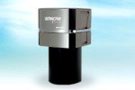
Aerial Data Service (ADS) owns and operates a Piper Navajo aircraft equipped with a large format UltraCam Falcon digital camera for acquisition of aerial imagery. The UltraCam Falcon offers a fully stabilized platform with forward motion compensation for diverse types of imagery acquisition. Our camera provides top quality images with the utmost precision, allowing ADS to acquire a large project area in a concise amount of time.
Our aircraft is piloted by Curtis Daggs, a professional aerial mapping pilot who has completed over 2,000 hours of flight time. He has experience throughout the Central and Southern United States and Caribbean.